Leading Provider of Inertial Navigation Systems & Sensors
Expert in Inertial Navigation Solutions
Trusted by Key Players & Exported to over 35 countries
Trusted by Key Players & Exported to over 35 countries
Our advanced systems, featuring MEMS gyroscopes, IMUs, and INS, deliver unmatched accuracy and reliability. Engineered for seamless integration in aerospace, defense, and industrial applications, they set the standard for performance in any environment.
They Trust Us


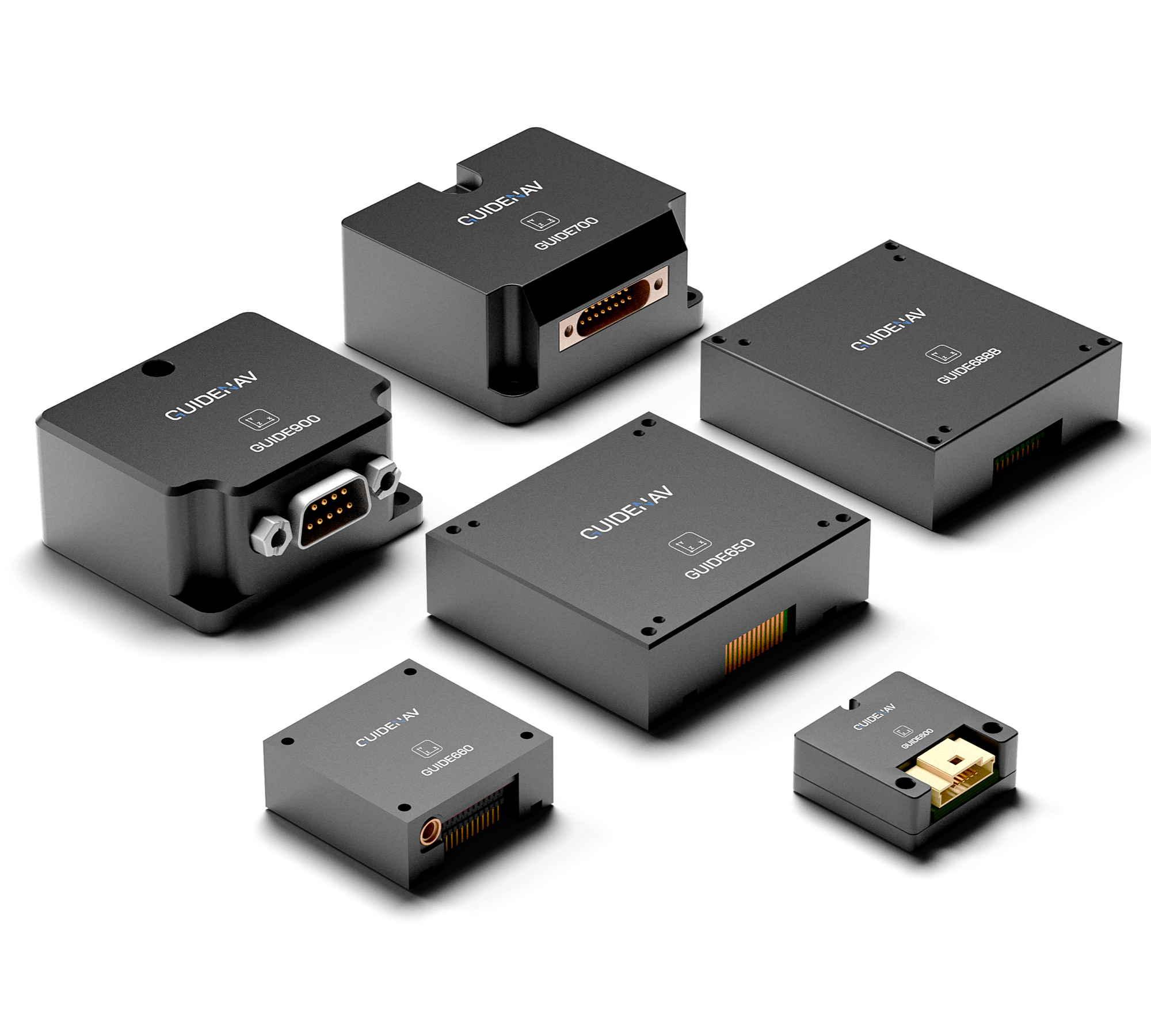
Our Featured Products
Our Products & Solutions
Explore future-ready solutions powered by AI navigation.
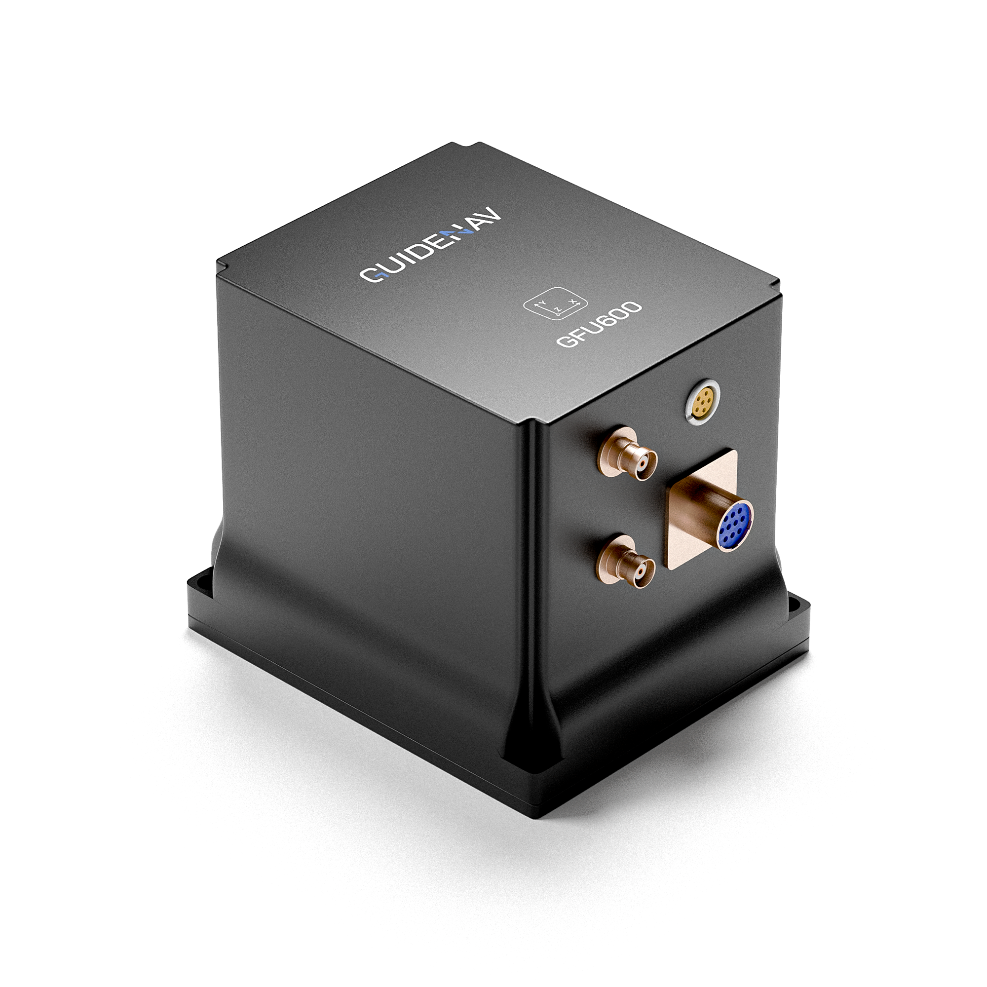
Inertial Navigation Solution (INS)
Fiber Optic Gyroscope INS
MEMS
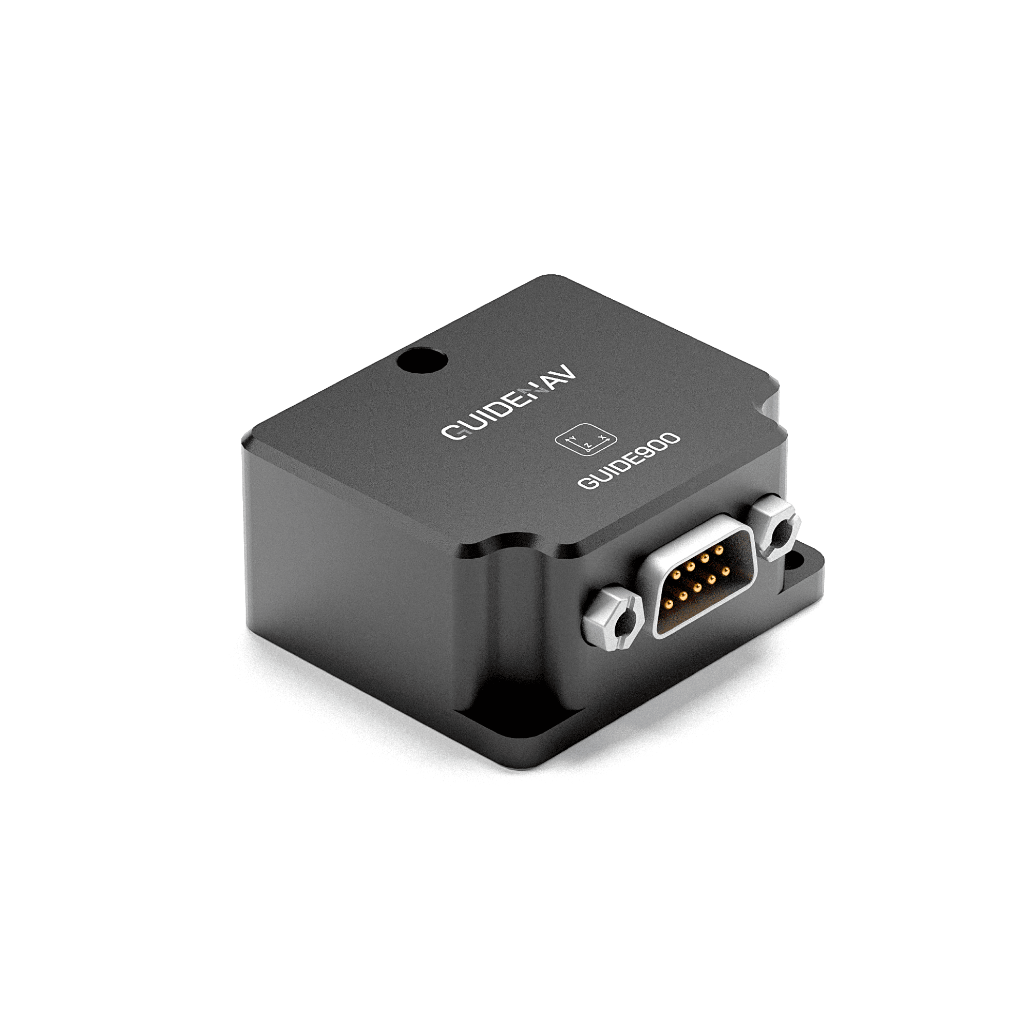
Inertial Measurement Units(IMU)
Fiber Optic Gyroscope IMU MEMS IMU
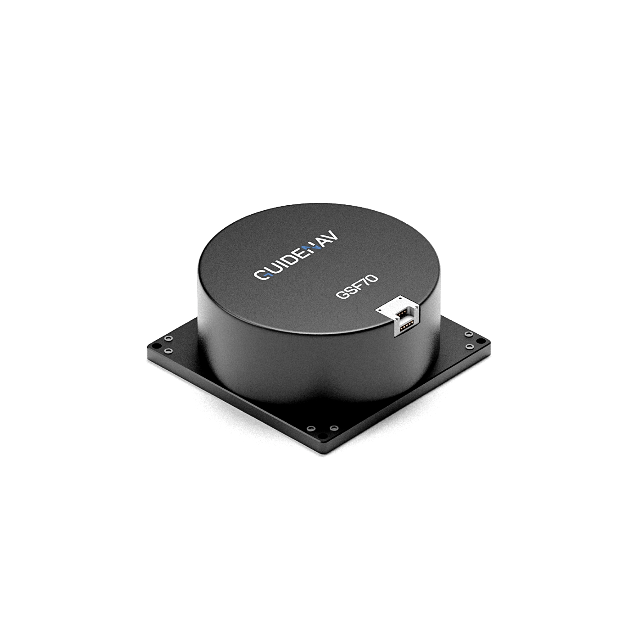
Fiber Optic Gyroscope
Fiber Optic Gyroscope
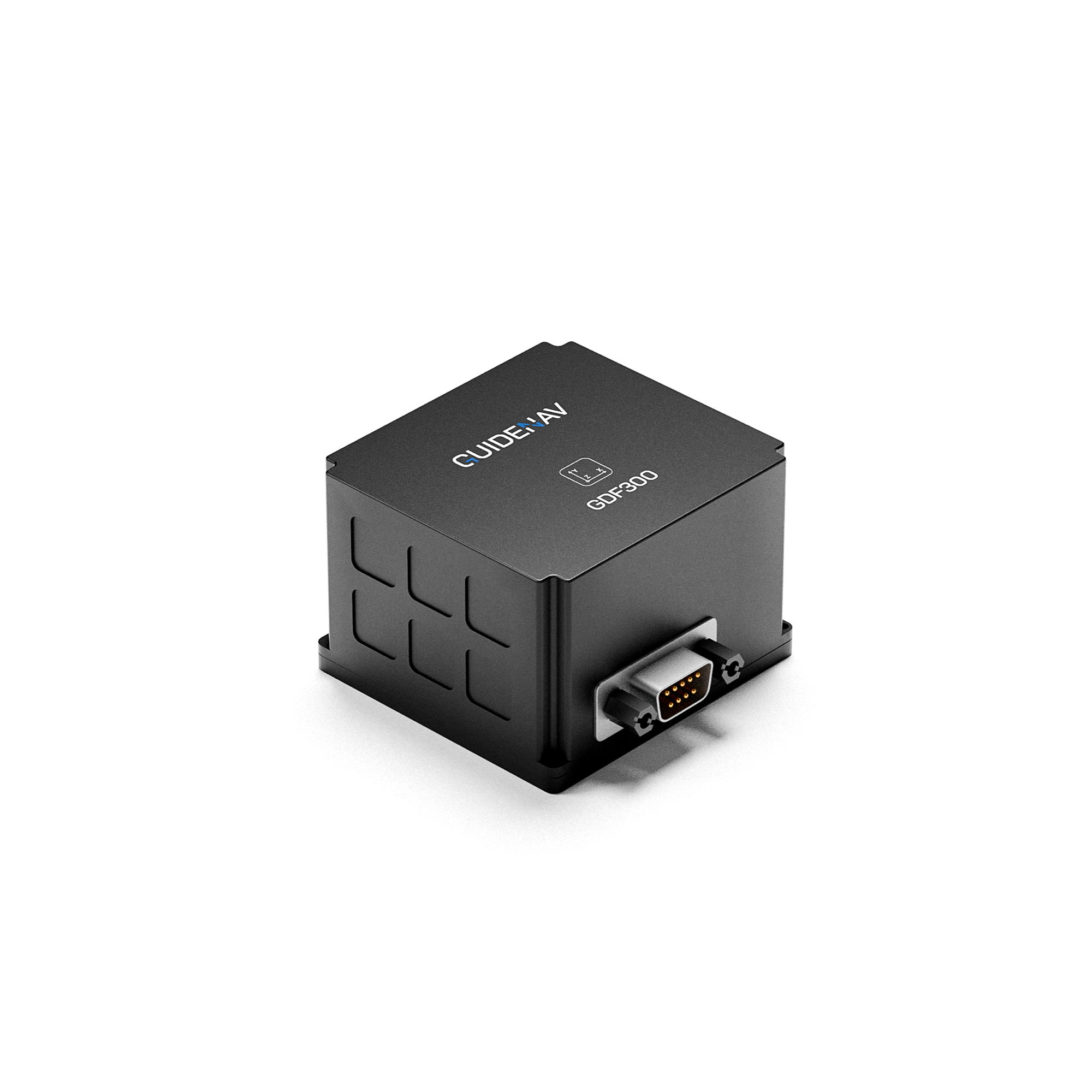
MEMS Gyroscope
MEMS Gyroscope
Why Choose Us
Comprehensive Solutions for All Your Navigation Needs
Commercial Grade Coverage
Bias Stability: >0.2°/h
Solution: MEMS based Gyroscope/IMU/INS
Applications: car navigation, unmanned aerial vehicles, transportation, robotics etc.
Tactical Grade Coverage
Bias Stability: 0.05°/h-0.2°/h
Solution: Fiber Optics and MEMS based Gyroscope/IMU/INS
Applications: armored vehicles operations, anti-aircraft artillery, precision targeting etc.
Navigation Grade Coverage
Bias Stability: ≤0.05°/h
Solution: Fiber Optics & Ring Laser Gyroscope/IMU/INS
Applications: medium and long-range guidance, military aviation, satellites



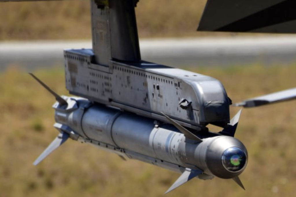
Our Adavantages
Why Choose Guidenav?
Trusted by keyplayers
Our advanced inertial navigation products are trusted by leading organizations in the aerospace, defense, commercial, and industrial sectors from over 35 countries. Our reputation for reliability and precision sets us apart.
Top Performance
Our products deliver top-tier performance with excellent bias stability. Designed for the most demanding applications, they ensure precise navigation and control.
Proven in Harsh Environment
Our solutions are built to withstand extreme conditions, providing consistent performance in harsh environments.
Excellent Performance under Vibrations
Our technology excels in high-vibration settings, ensuring accuracy and stability even in the most challenging operational environments.
PLUG & PLAY System
Our systems are designed for easy integration, offering plug-and-play solutions that simplify installation and reduce setup time, allowing you to focus on your mission.
ITAR-FREE
Our products are ITAR-free, offering you the advantage of easier international transactions and fewer regulatory hurdles. Choose GuideNav for seamless global operations.
Client feedback
Why do Customers from Over 20 Countries Work with Us ?
Our Vision
At GuideNav, we aim to revolutionize inertial navigation technology. Our commitment to innovation and excellence drives us to provide top-tier solutions that meet the evolving needs of our clients in the aerospace, defense, commercial, and industrial sectors.
Ahmed Hassan, Engineer
“GuideNav’s products consistently deliver outstanding performance and reliability. We have purchased over 100k units from them so far.”
Fatima Al-Sayed, Engineer
“Working with GuideNav has been a game-changer. Their navigation solutions are not only precise but also incredibly durable, even in the most challenging environments.”
Dmitry Ivanov, Senior Buyer
“GuideNav’s commitment to quality and innovation is evident in their products. Their systems have exceeded our expectations in terms of performance and price.”
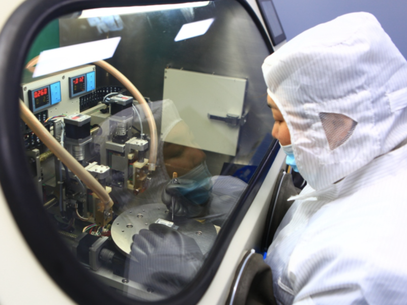
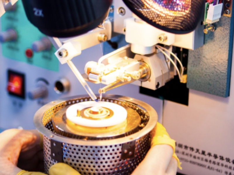
Our Factory





Faqs
Answers to Your Questions
An Inertial Navigation System (INS) uses inertial sensors to measure changes in motion, which helps determine the velocity, orientation, and position of an object.
The IMU, a component of the inertial navigation system, consists of sensors such as accelerometers, gyroscopes, and sometimes magnetometers.
More details:
- Accelerometers gauge an object's acceleration, tracking its changing velocity.
- Gyroscopes detect changes in angular velocity.
- Magnetometers assess the Earth’s magnetic field's strength and direction, determining orientation relative to magnetic north. The system adjusts for the discrepancy between true north and magnetic north. However, magnetic interference sources can affect a magnetometer's accuracy in most vehicles.
These sensors each have limitations, but they work better when combined. By measuring these three sensors, the inertial navigation system calculates traveled distance and heading.
An inertial navigation system measures:
- Pitch
- Roll
- Heading
An INS also incorporates a GNSS receiver, adding another sensor. This provides an absolute position rather than a relative one. While an INS alone can determine position relative to the inertial frame of reference, combining it with GNSS provides an accurate global position.
An inertial navigation system is self-contained and doesn't need satellite signals or base stations to determine position.
GNSS relies on satellite information for positioning. It's widely used in civilian, commercial, and defense applications, though it can be disrupted by atmospheric conditions and multipathing. GNSS signals can also be obstructed by tunnels or intentionally interfered with through jamming and spoofing, especially in military scenarios.
When used together, these two systems provide highly accurate positioning, with the inertial navigation system maintaining accuracy in GNSS-denied environments, enhancing GNSS navigation data.
An INS includes an Inertial Measurement Unit (IMU) and a computational unit. Starting from a known position and orientation (the inertial frame of reference), the IMU tracks changes in velocity and rotation, sending raw data to the INS computational unit, which then accurately determines the new position and orientation.
Inertial navigation systems reliably provide position data. They range from lightweight MEMS (micro-electromechanical systems) to dynamic fiber optic gyroscopes (FOG), and advanced digital fiber optic gyroscopes (DFOG).
INS is especially beneficial in environments where GNSS (global navigation satellite system) is unavailable. GNSS can be disrupted in tunnels or underwater. It can also suffer from multi-pathing or atmospheric interference. While this is a minor issue for phone navigation, precise positioning is critical for aerial surveying or defense applications.
Combining INS with GNSS is more reliable, as INS mitigates errors that GNSS alone might encounter. INS can operate effectively without base station communication, making it suitable where GNSS is inaccurate or unavailable.
Various inertial navigation systems offer different levels of accuracy.
High-end INS using fiber optic gyroscopes (FOG) are accurate within centimeters, suitable for aerospace exploration, AUVs, and defense applications. Unlike GNSS, INS is immune to jamming or spoofing as it doesn't rely on external references like satellites or base stations. GuideNav also offer cost-effective MEMS based INS for applications with less accuracy requirements.
Calibrating an INS ensures that sensor output results are accurate and consistent within specified operating conditions. Calibration involves comparing INS outputs with reference information and adjusting co-efficiency factors to match the two.
INS output can vary due to several factors, such as:
- Temperature – Affects INS output across a range of temperatures.
- Systematic error sources from accelerometers and gyroscopes including:
- Sensor bias
- Sensor output scale factor
- Sensor cross-axis sensitivity
- Sensor axis misalignment
- MEMS gyroscope G sensitivity
- Magnetic Field – INS units with magnetometers for heading determination can be affected by magnetic field changes (e.g., ferrous objects or magnets causing static interference). This error is typically calibrated once the INS is installed in its final position on a vehicle to account for static magnetic interference sources. All GuideNav products have built-in magnetic calibration software to address this issue.
INS calibration involves equipment like temperature chambers, leveling tables, rate tables, and gimbals. All GuideNav products are calibrated, tested, and conform to relevant industry standards before shipping.
INS sensors fall into five performance grades, mainly based on gyroscope performance.
While INS also uses accelerometers and magnetometers, gyroscope cost vs. performance primarily determines the performance grade. MEMS-based INS performance ranges from consumer to tactical grade, but advances in MEMS and data fusion technologies have pushed MEMS-based INS performance towards high-end tactical grade.
Performance grade: Consumer
- Gyro Bias Stability: over 20 °/h
- Cost: $
- Example Applications: Motion detection
- Sensor Technology: MEMS
Performance grade: Industrial/Tactical
- Gyro Bias Stability: 5 – 20 °/h
- Cost: $$
- Example Applications: Robotics
- Sensor Technology: MEMS Based
Performance grade: High-End Tactical
- Gyro Bias Stability: 0.1 – 5 °/h
- Cost: $$$
- Example Applications: autonomous systems
- Sensor Technology: MEMS / FOG (Fiber-optic gyroscope) /RLG (Ring laser gyroscope)
Performance grade: Navigation
- Gyro Bias Stability: 0.01 – 0.1 °/h
- Cost: $$$$
- Example Applications: Aircraft navigation
- Sensor Technology: FOG/RLG
Performance grade: Strategic
- Gyro Bias Stability: 0.0001 – 0.01 °/h
- Cost: $$$$$
- Sensor Technology: FOG/RLG

